Geological & Exploration Consulting Services
Geological mapping, geochemistry, GIS, remote sensing and drilling support for mineral exploration projects.
By combining experience in field geology with GIS tools, remote sensing and data integration techniques, we help clients reduce geological uncertainty, improve exploration targeting and make informed decisions.
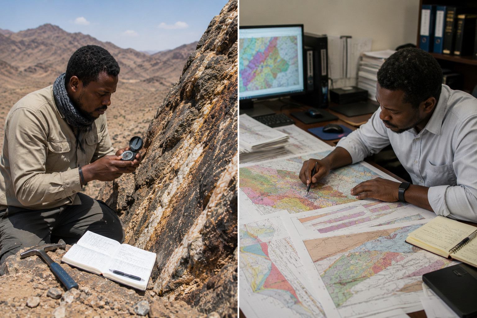
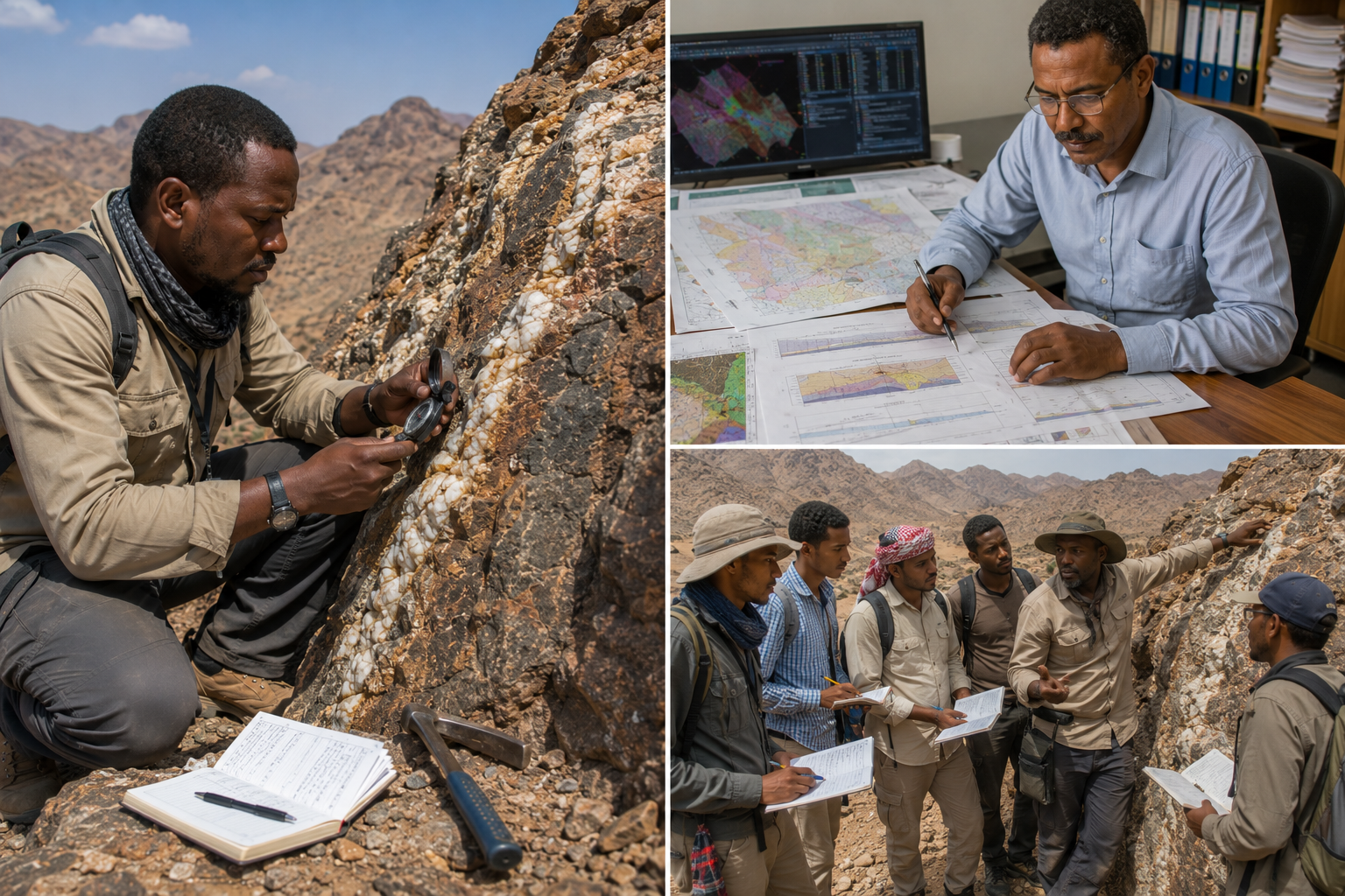
Geological Mapping & Structural Interpretation
Geological mapping and interpretation of structural controls on mineralization
- Reconnaissance geological mapping
- Detailed prospect mapping
- Structural mapping and interpretation
- Alteration mapping
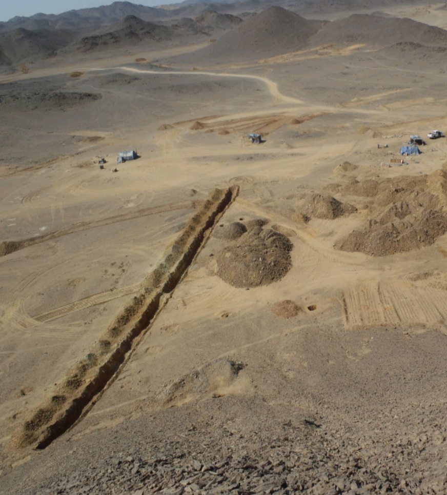
- Trench mapping
- Open pit mapping
- Geological cross-sections
- Structural controls on mineralisation
Geochemistry & Exploration Targeting
Geochemical survey design, implementation and interpretation.
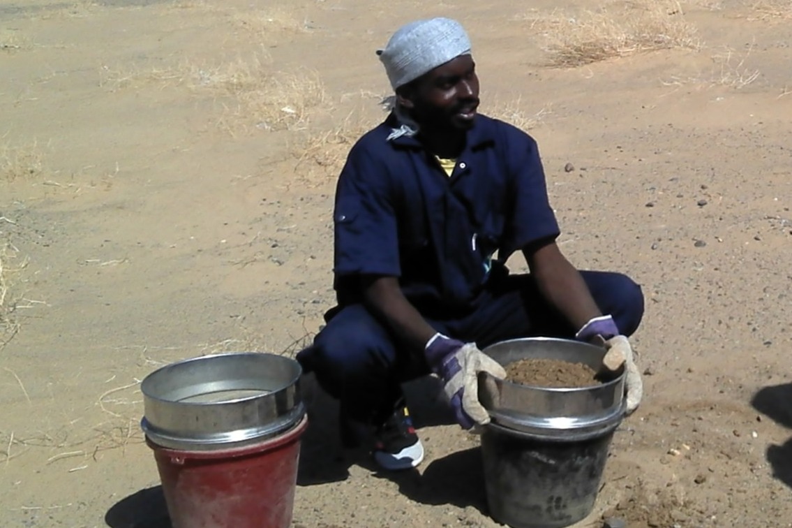
- Soil sampling
- Rock-chip sampling
- Stream sediment sampling
- Geochemical survey design
- Geochemical QA/QC
- Multi-element interpretation
- Anomaly delineation
- Target generation
- Prospect evaluation
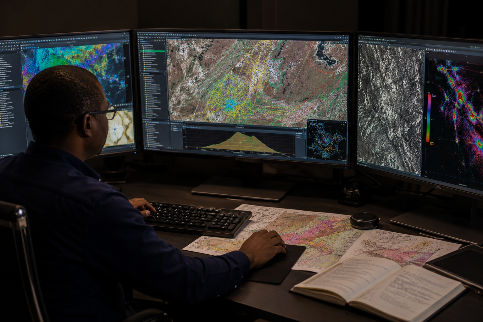
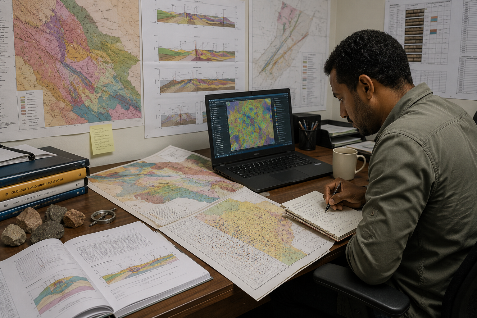
GIS, Remote Sensing & Data Integration
GIS, remote sensing and multi-source exploration data integration.
- Geodatabase design
- Data digitisation and georeferencing
- Satellite imagery interpretation
- ASTER and hyperspectral alteration mapping
- Lineament extraction
- Geophysical data review and interpretation
- Mineral prospectivity mapping
- Historical data compilation
- Multi-source dataset integration
- Geological map production
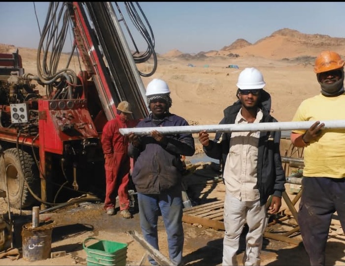
Drilling Support & Core Management
Geological support for drilling programmes, including core logging, structural interpretation and sampling supervision.
- RQD measurement and geotechnical logging
- Diamond core logging
- RC chip logging
- Structural logging
- Oriented core measurement & supervision
- Core photography
- Sampling supervision
- Drill database management
- QA/QC implementation
- Geological interpretation of drill results
Technical Reporting & Exploration Support
- Historical data compilation
- Geological data validation
- Prospect reviews
- Project evaluations
- Due diligence support
- Data compilation and interpretation
- Exploration recommendations
Training & Capacity Building
We provide practical training in geological mapping, structural geology, GIS, core logging and exploration data management to support the development of competent exploration professionals.
- Geological mapping training
- Structural geology workshops
- Core logging instruction
- GIS training programmes
- Exploration database management
- QA/QC implementation training
- Technical report writing
- Graduate mentoring
- Custom field-based training programmes